
We are Map Design, a land surveying company based in Timișoara, Romania, authorized by ANCPI, the national cadastre and land registry agency, and founded in 2005 by Ovidiu Stoia. We provide land surveying and cadastre in Timișoara and Timiș County, as well as drone surveys, terrestrial photogrammetry and construction surveying, across Romania and abroad.
Our projects range from a single plot to several thousand hectares, from a house to a fortress or an electrical substation. You can see them on the portfolio map. Have a specific project in mind? Request a quote.
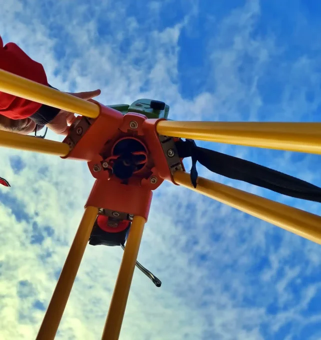
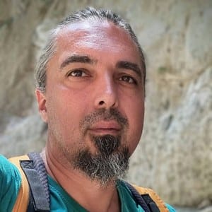
We started in 2005, in Timișoara, with our first instrument, bought on credit. The first jobs came through recommendations, and a collaboration surveying several thousand hectares around Carani gave the company a steady workload in its early years. After that, word of mouth brought us architects, design engineers and people in public institutions.
That is how we came to work on projects that need more than a topographic survey. At Ineu Fortress, in 2011, we worked with an architect on a national-level project: a week of fieldwork with a total station and GPS, then processing in the office. We surveyed the façades and roofs, the courtyards, streets, utilities, vegetation and surroundings, practically a whole neighbourhood, along with a measured building survey of the interiors, so that the design could start from complete data.
Today, the same job would take a day or a day and a half on site, and the architect would receive, besides the plans, an orthophoto, a 3D model, a point cloud and the required approvals from the surveying and cadastre authorities.
We always measure something beyond the requirements: as a verification element, and so that details missing from the design brief are not missing from the plan.
The same attention goes to price: a balanced ratio between the value of the work and what the client receives.
We have carried out surveys at the ASTRA Museum in Sibiu and at many wooden churches, among them Sartăș and Cebza. At Dobrești Monastery we did 3D modelling, and at Luncani Monastery we monitored the deformation of the building over several survey campaigns, until it stabilized. For a property in Timișoara we researched its history: we reconstructed its cadastral record, from one land registration system to the next, starting from 18th-century plans.
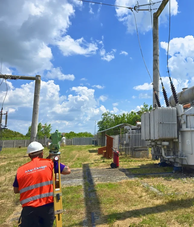
At the București Sud substation, part of the Transelectrica national grid, we worked for the engineers designing its upgrade: as-built surveys of the installations, setting out for mounting the equipment, and topographic surveys. In an electrical substation you cannot move around as you please: you first ask how high you may raise the GPS pole, and the installations are measured from a distance, without contact.
For Aquatim, Timișoara’s water utility, on the construction site of the Bega water treatment plant, we set out the clarifier’s anchor bolt cages, 8–10 metres above ground.
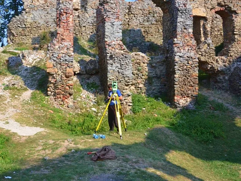
Surveying with a total station, among the fortress walls.
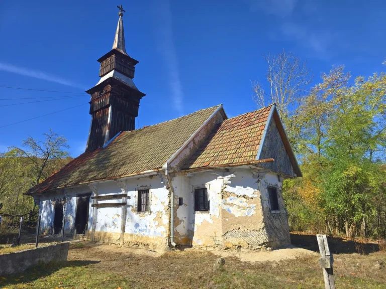
Topographic survey for the restoration of the church.
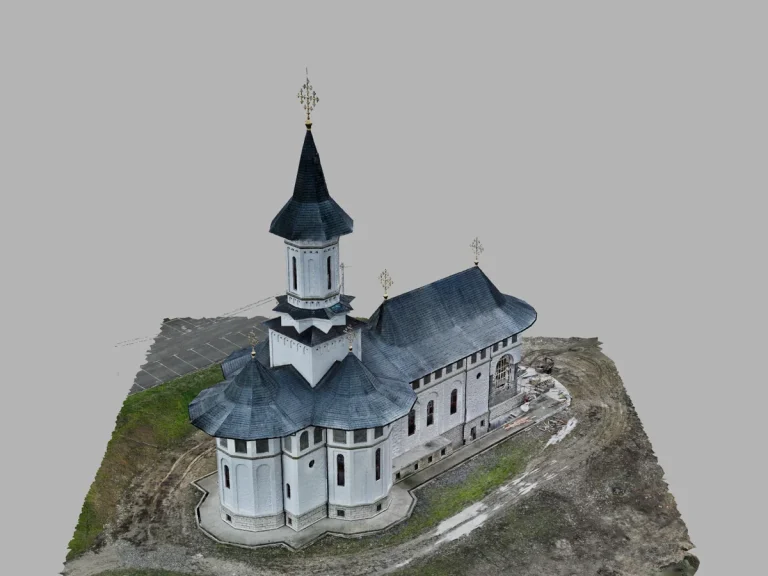
3D model of the church, created from survey data.
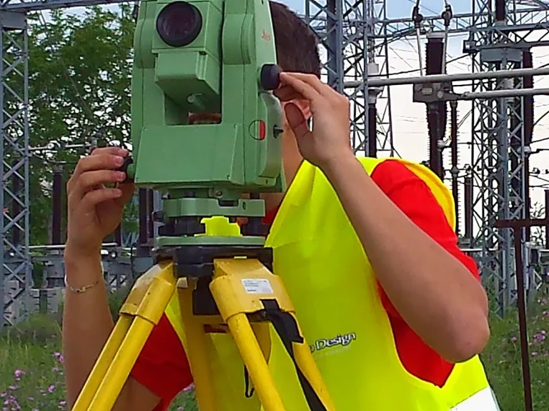
Electrical installations are measured from a distance, without direct contact.
Every conversation starts with the documents: send us what you have and tell us about the situation, so that we can talk about your actual case. Only then do we prepare a quote.
Surveys often turn up things even the owner did not know about. If a request is not clear, we call and ask rather than guess. If a problem comes up, we say so early and, where needed, speak directly with the end client, so that nothing gets lost along the way.
Good work brings more work: an architect came to us after a job we did for a contractor and asked to keep working with us.
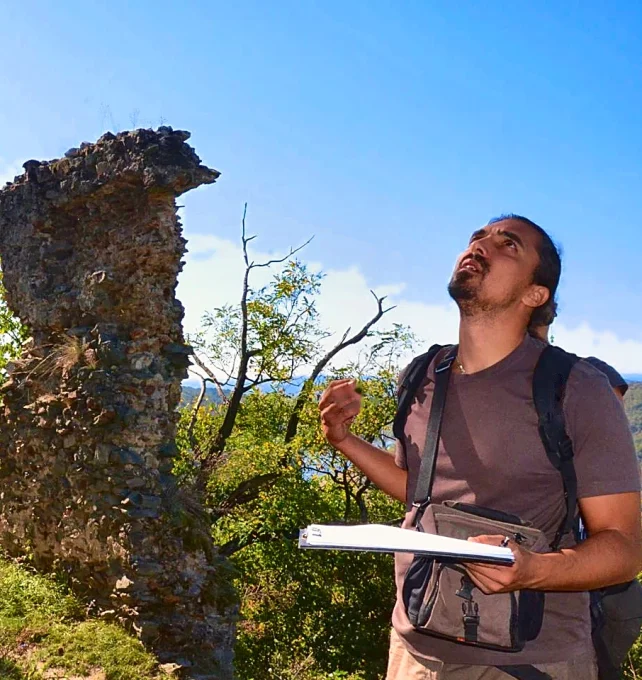
Founder
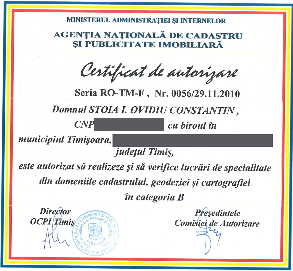
I founded Map Design and built TopoTanc, the surveying and cadastre software we work with. I still survey in the field, including in summer, at 37–40 °C in the city, when you really find out how much a tree matters. I am also personally authorized by ANCPI, series RO-TM-F no. 0056/2010, category B.
Before Map Design, as an employee, I was project manager for the surveys and data processing of the Timișoara–Mintia and Timișoara–Arad transmission lines, for Transelectrica. In the same period I surveyed the runway of Timișoara airport, slab by slab, with a total station.
Animal lover, passionate about music and protecting the environment. Drawn to the exact sciences.
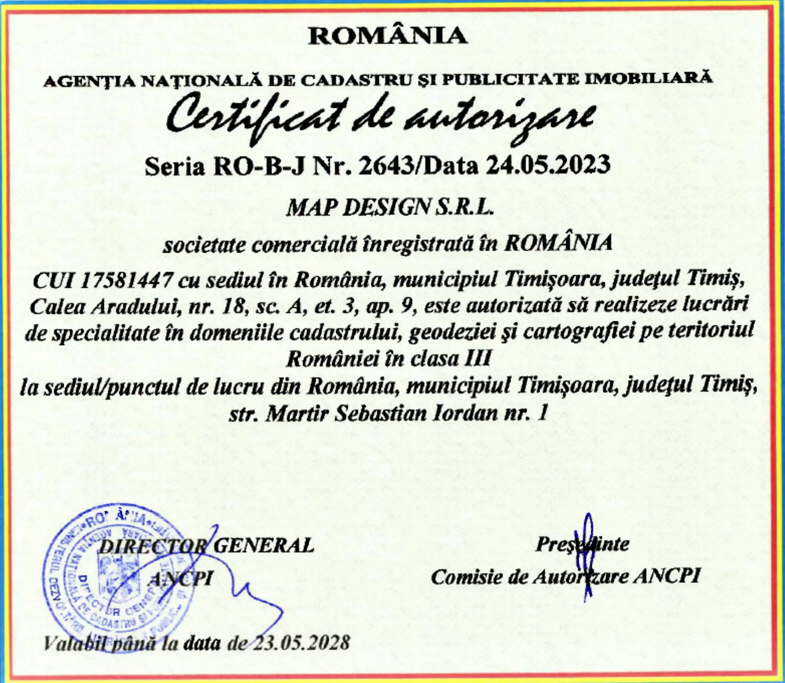
The ANCPI authorizations, the company’s (class III) and the founder’s personal one (category B), entitle us to prepare and sign cadastral documents and site plans for construction and planning projects, and to set out property boundaries and buildings on the ground. Our EU open-category drone pilot qualifications, A1/A3 and A2, issued by the Romanian Civil Aeronautical Authority, allow us to fly drones in Romania and across the European Union. The ISO 9001, 14001 and 45001 certifications cover quality, environmental protection and occupational health and safety. The authorizations can be checked in the official lists of OCPI Timiș, the county cadastre and land registry office (in Romanian): authorized companies and authorized individuals.

A to-scale survey of the site for design work, showing property boundaries, levels, utilities, neighbouring plots and existing buildings.

A cadastral survey, or boundary survey, establishes the boundaries of a parcel from the title documents, by locating or setting its corners. In Romania, it is the basis for land registration.

Essential on any construction site: setting out, checks as the work progresses and as-built surveys, so that what gets built matches the design.

Drone photogrammetry turns flight images into topographic maps, orthophotos, 3D models and geospatial data for construction, urban planning, land monitoring and cadastre.
Architects and design engineers, contractors and property developers, public institutions, investors, and people buying or owning property in Romania, including those living abroad. In the Timișoara area, across Romania and, when needed, abroad. For a specific project, send us the documents and tell us about the situation. We will reply with a quote.



Map Design is a land surveying company in Timișoara, Romania, authorized by ANCPI and founded in 2005 by Ovidiu Stoia.
Since 2005. The company was founded in Timișoara by Ovidiu Stoia, an ANCPI-authorized land surveyor who still works in the field today.
Topographic surveys, cadastral surveys and land registration, drone surveys, photogrammetry and construction surveying.
For architects and design engineers, contractors and property developers, public institutions, investors, and people buying or owning property in Romania, including those living abroad.
Yes. The company holds ANCPI authorization series RO-B-J no. 2643/2023 for cadastral work, as well as ISO 9001, 14001 and 45001 certifications. The founder, Ovidiu Stoia, is also personally authorized by ANCPI, series RO-TM-F no. 0056/2010, category B. For drone flights we hold EU open-category drone pilot qualifications, A1/A3 and A2, issued by the Romanian Civil Aeronautical Authority.
Yes, in Austria. In Romania we work in Timișoara and Timiș County, in the neighbouring counties and across the rest of the country.
We survey with Leica total stations, GNSS receivers, drones and levels. For laser scanning and bathymetric surveys we use the equipment each job requires.
We have carried out surveys at the Șoimoș and Ineu fortresses, the Fabric Synagogue and the Art Museum in Timișoara, the ASTRA Museum in Sibiu, the Banloc manor and wooden churches. You can find them on the portfolio map.
Send us the documents and tell us about the situation. We prepare the quote based on them, and the survey follows.
By phone, WhatsApp, email or the quote form. Our office is in Timișoara, at Str. Martir Sebastian Iordan nr. 1, ap. 4, open Monday to Friday, from 9:00 to 17:00.
Map Design provides land surveying, cadastral documentation and photogrammetry services for businesses, real estate agencies, and architecture and design offices working in territorial development, in the Timișoara metropolitan area and throughout Romania.